Adoption of Hovermap at a Tin Mine In The DRC
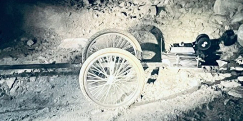
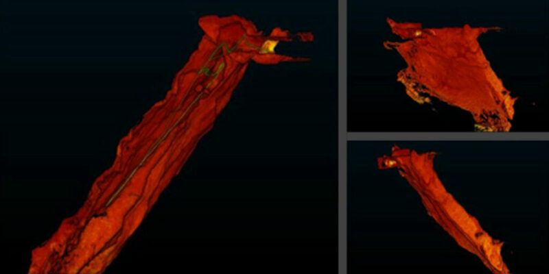
A tin mine in the Democratic Republic of Congo (DRC) faced challenges in mapping underground stopes. The survey team relied on a CMS (Cavity Monitoring System) mounted on a trolley. While functional, this setup produced point cloud data with significant noise and “shadowing,” which limited their ability to generate accurate reports. This inaccuracy hindered both operational decision-making and long-term mine planning.


